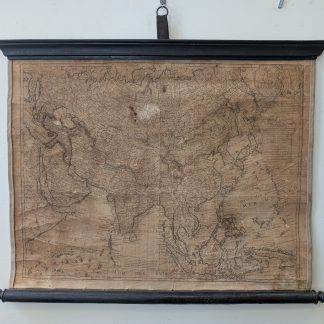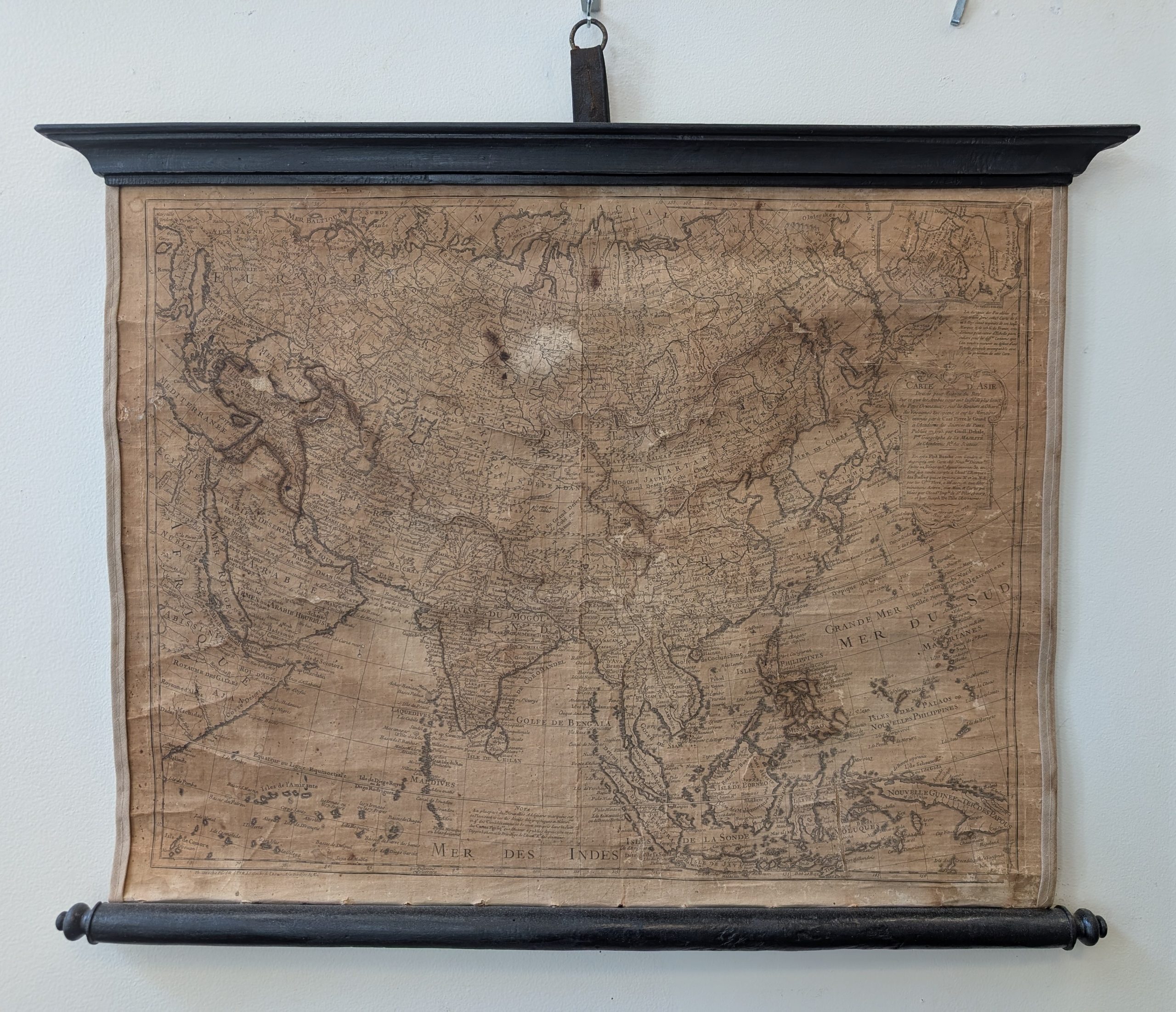
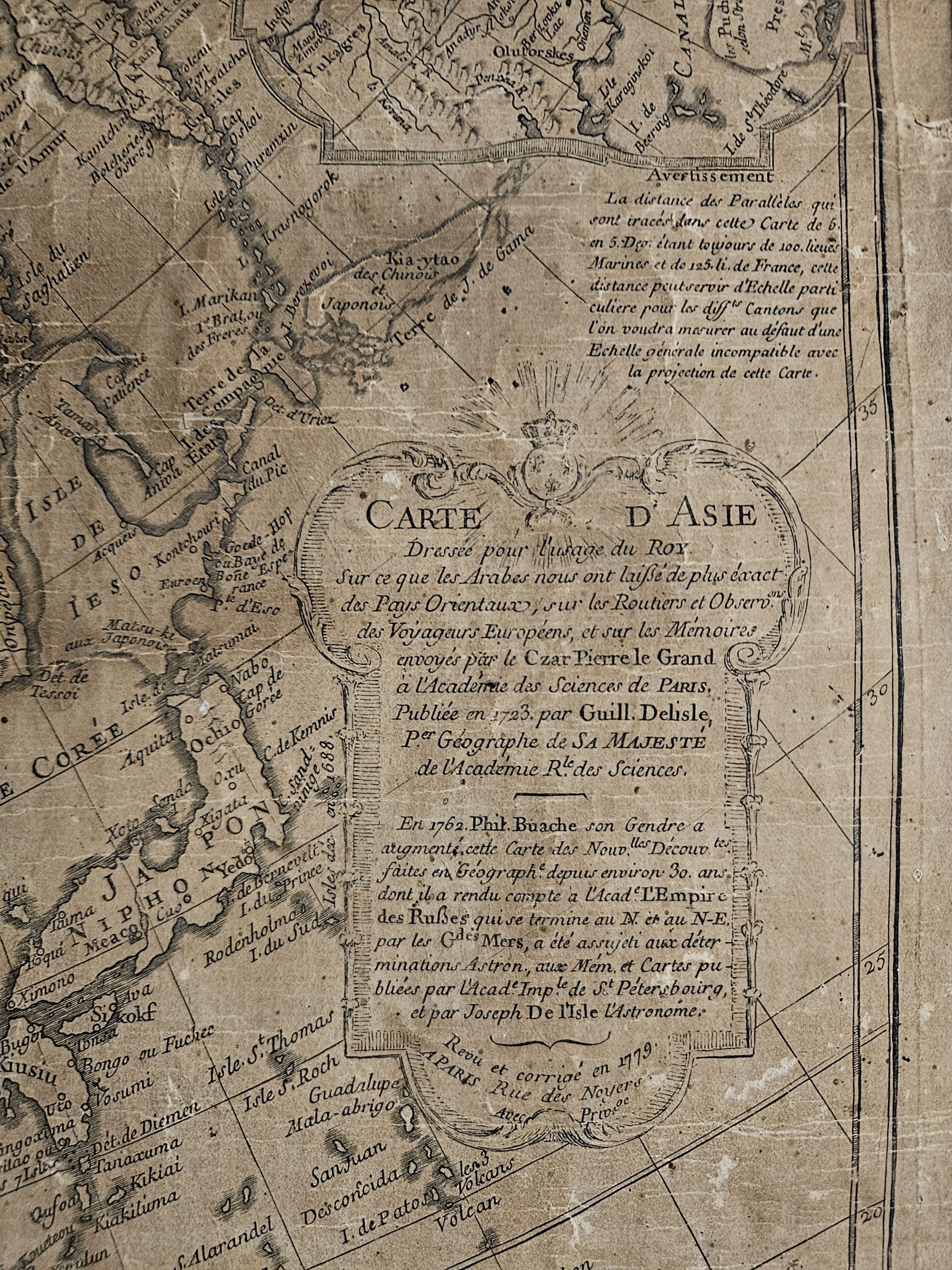
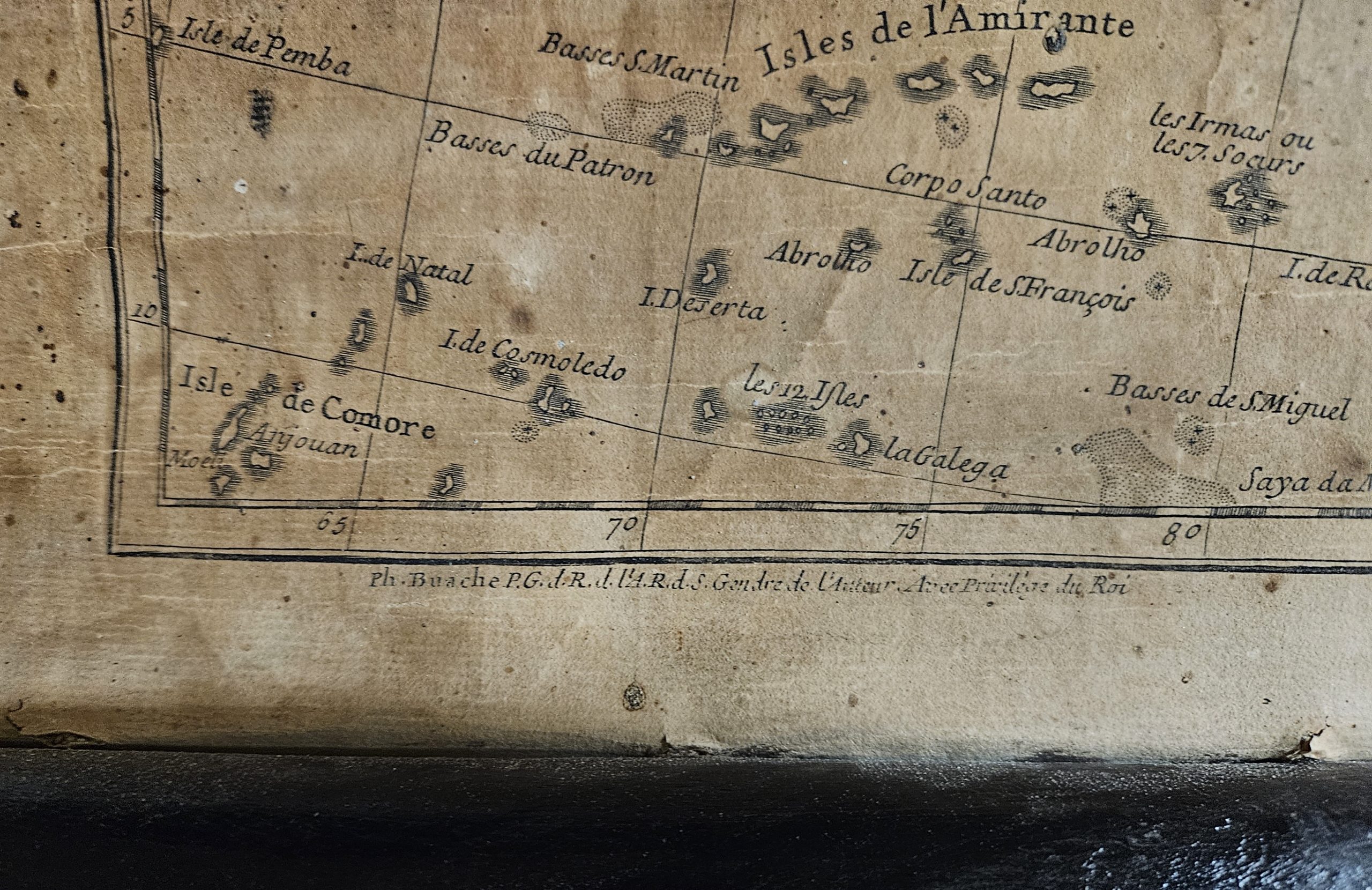
This map of the Asian continent was created and published by Philippe Buache in 1779.
Philippe Buache was a well-regarded cartographer in France, becoming geographer to the king in 1729. Furthermore, he helped to pioneer a new academic approach to mapmaking. Buache is most respected for his introduction of hachuring as a method for displaying underwater elevation on a two-dimensional map surface. One such example of this bold new thinking came with the arrival of his theoretical map of the South Pole over 40 years before other cartographers travelled to and mapped the Antarctic continent.