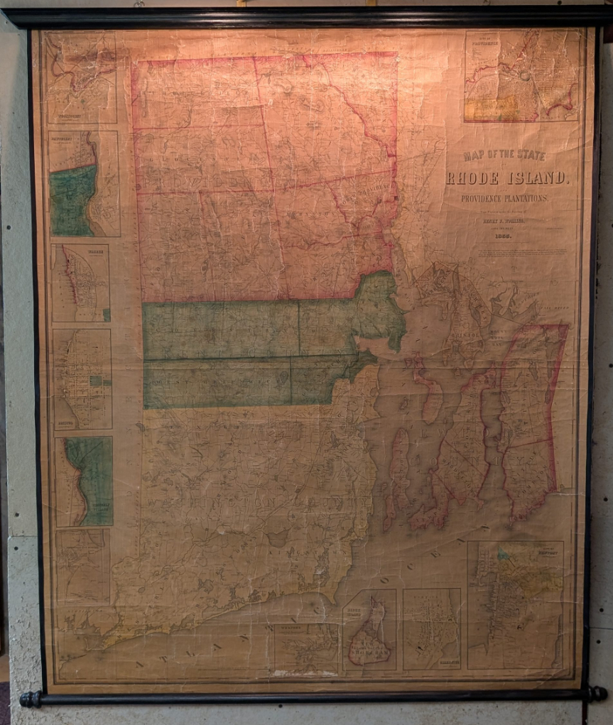
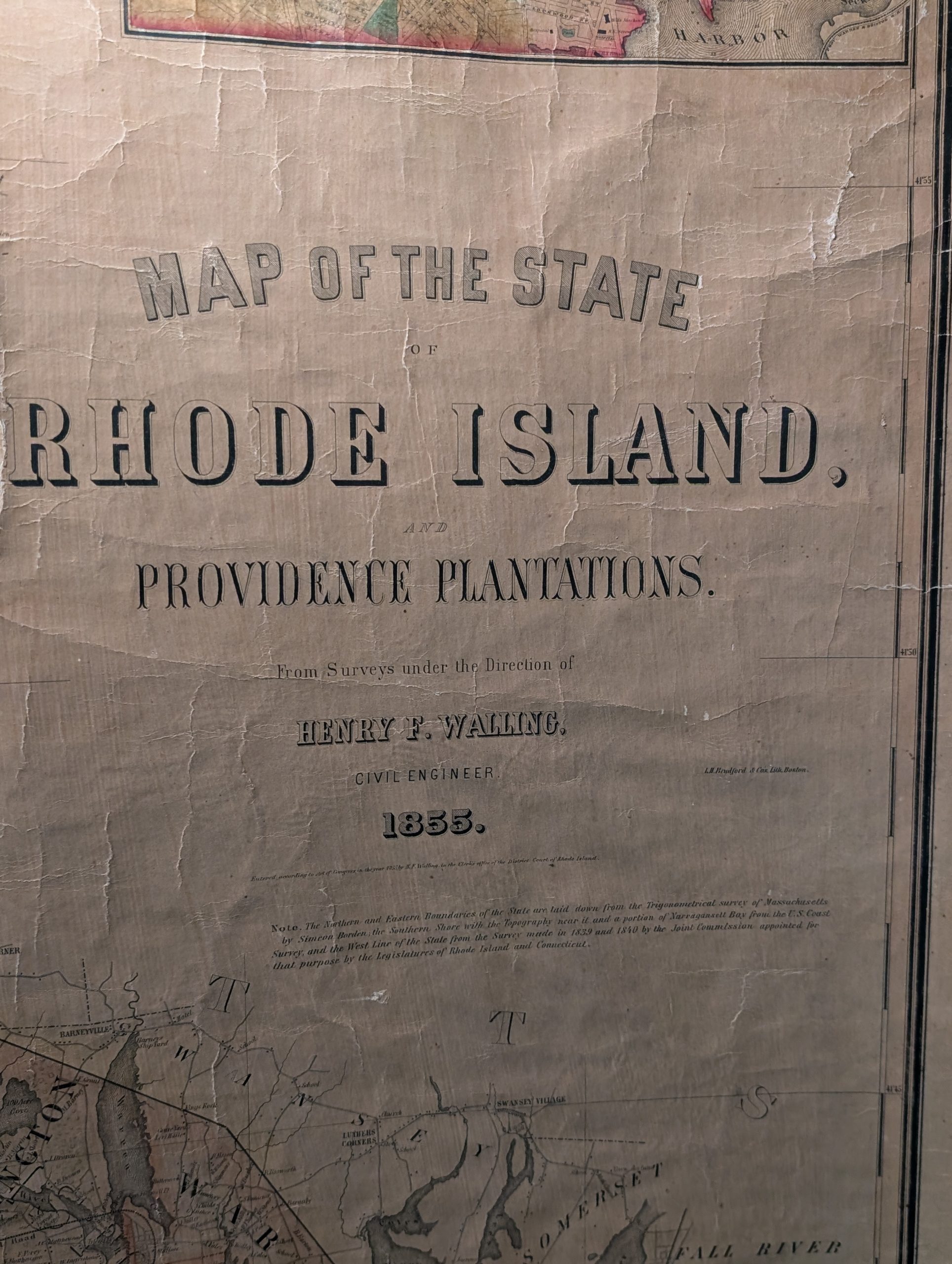
This rare map of Rhode Island from 1855 by the civil engineer Henry F. Walling. Centered on Narragansett Bay, the map covers the state and offers eleven detailed insets of various cities. Walling identifies countless individual estates and homesteads throughout – making this a treasure for anyone researching family history or mid-19th century Rhode Island land holdings. Roads, counties, topography, railroads, lakes and rivers are noted throughout.
Henry Francis Walling (1825-1888) was born and educated in Rhode Island, and took a position with surveyor Samuel B. Cushing sometime in the mid-1840s. With Cushing he produced in 1846 his first published map, a new edition of James Stevens’ 1831 Topographical Map of the State of Rhode Island. Stevens’ map may have been Walling’s first introduction to what at the time was known as “trigonometric” surveying. This involved the use of extremely careful astronomical observations to establish geodetic “control points,” from which a network of triangulated reference points was run across the state. This highly accurate framework was then filled out with less-rigorous but more detailed data obtained from surveys with compass, chain and odometer.