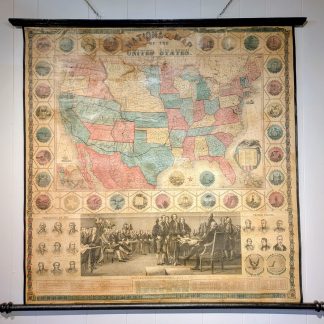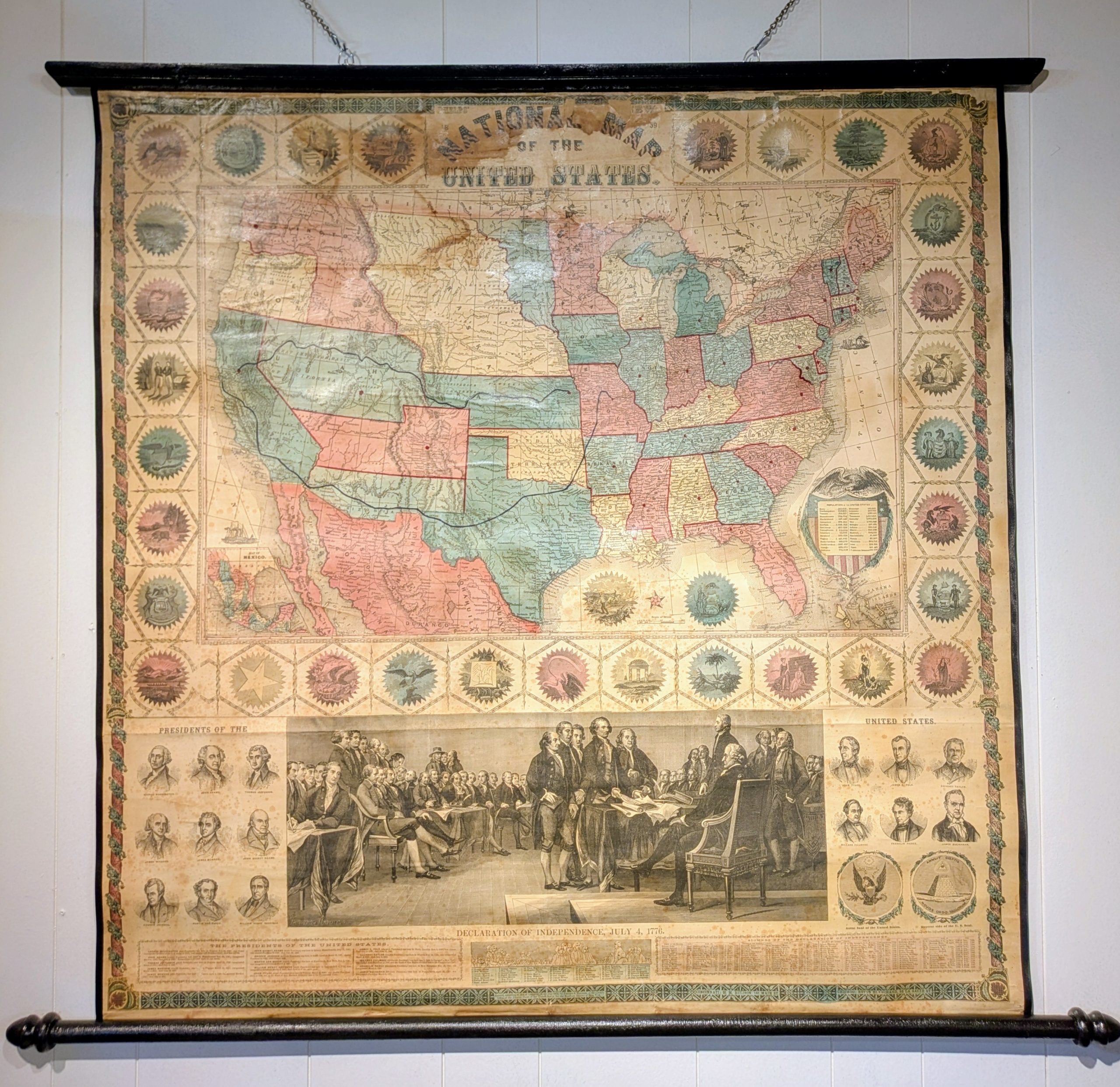
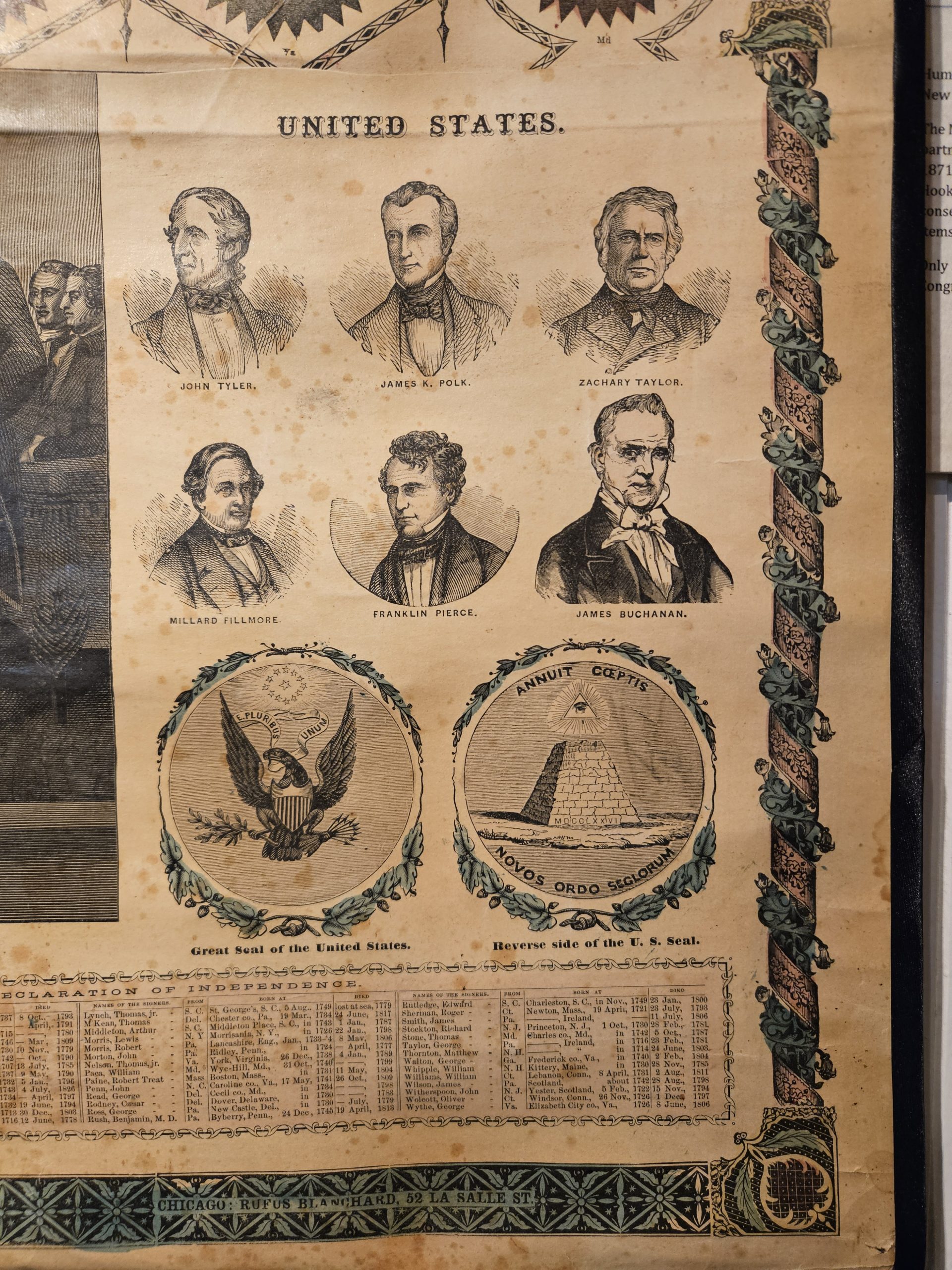
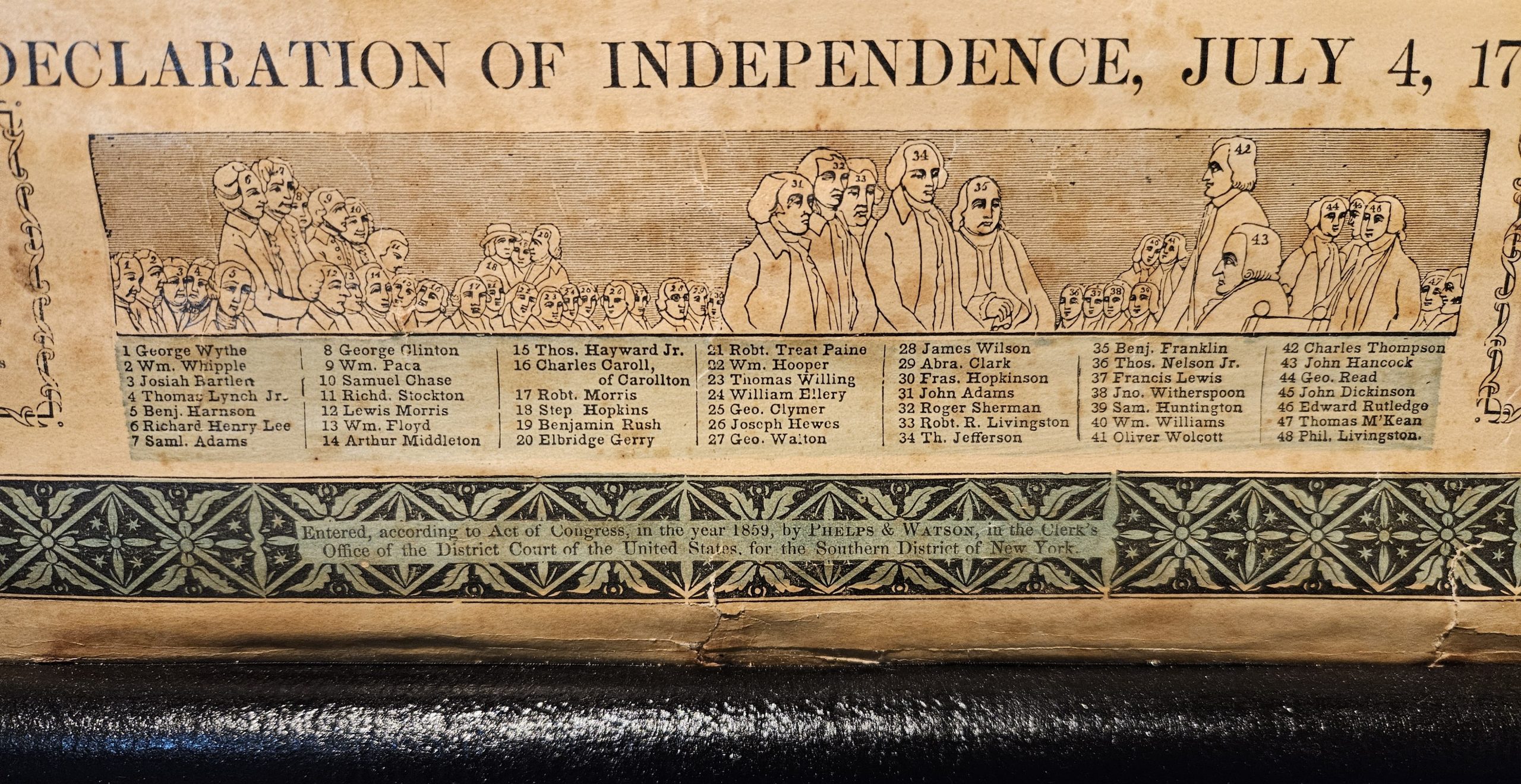
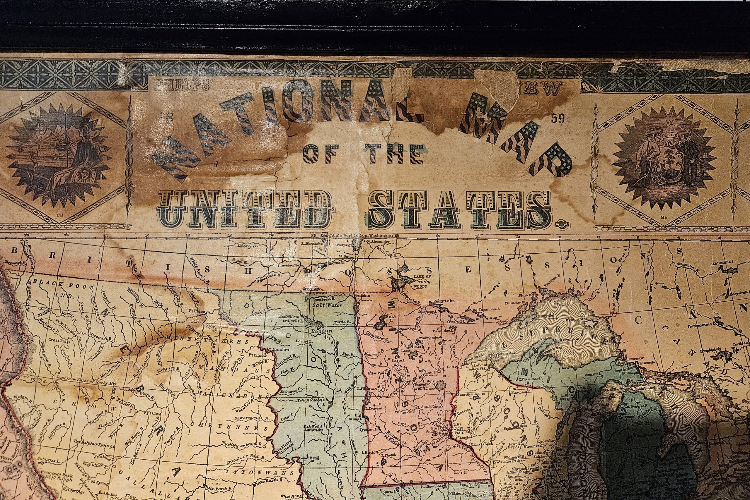
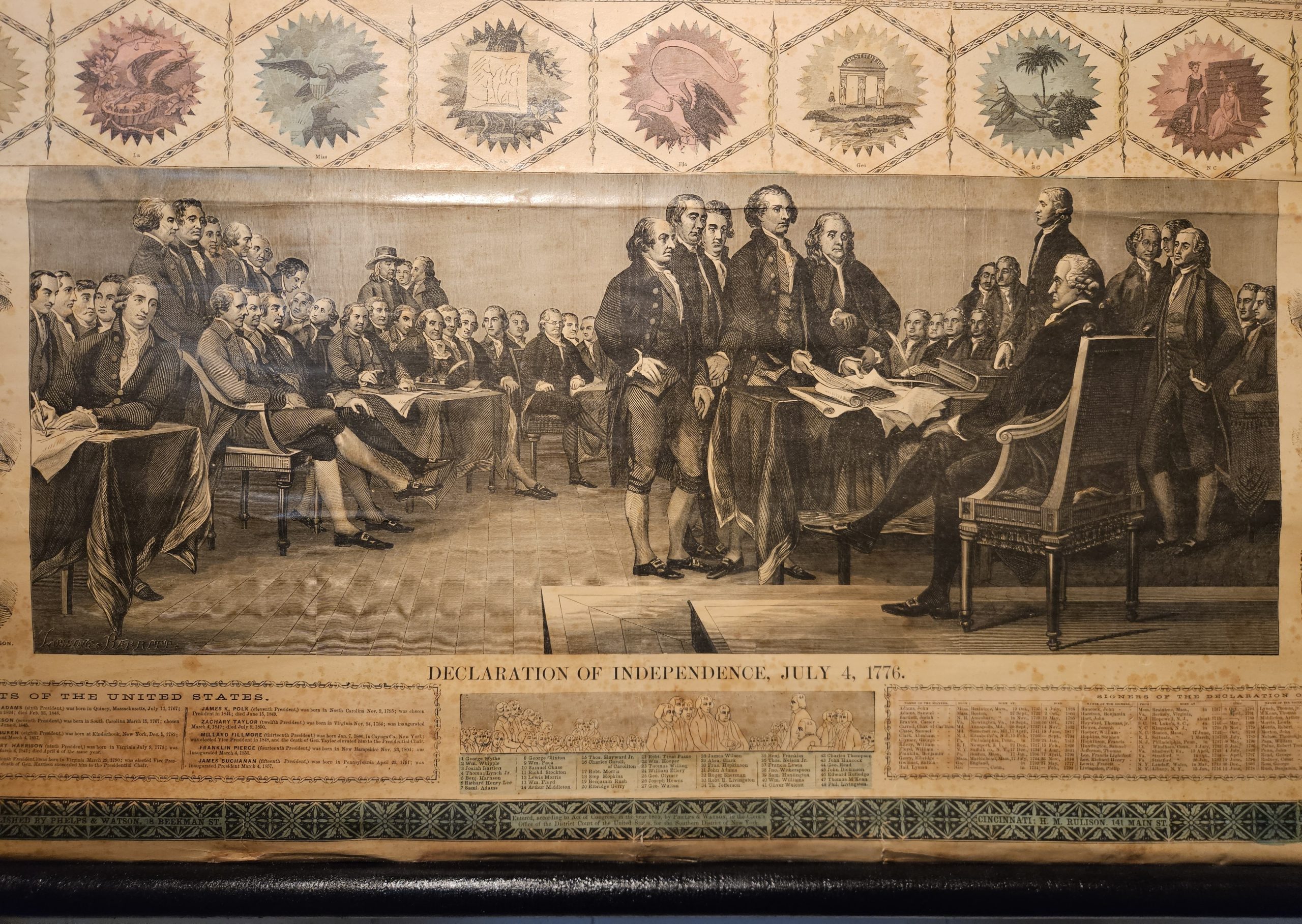
The map shows Nebraska reaching to the Canadian border, Arizona spelled “Arizonia”, and Colorado divided between Utah and Kansas. The map is surrounded by the 31 state seals of this pre-Civil War era. At the bottom center is an image of the founding fathers signing the Declaration of Independence and vignette portraits of all the presidents up until James Buchanan, who was President at the time the map was published. The map also included state populations.
Phelps & Watson (1859–1865) was a prominent 19th-century New York City-based map publishing firm founded by Humphrey Phelps (1799–1875) and his nephew, Gaylord Watson (1833–1896). Based at 16 Beekman Street, they specialized in highly decorative Civil War-era maps, historical military maps of the Border and Southern States, and emigrant guides.