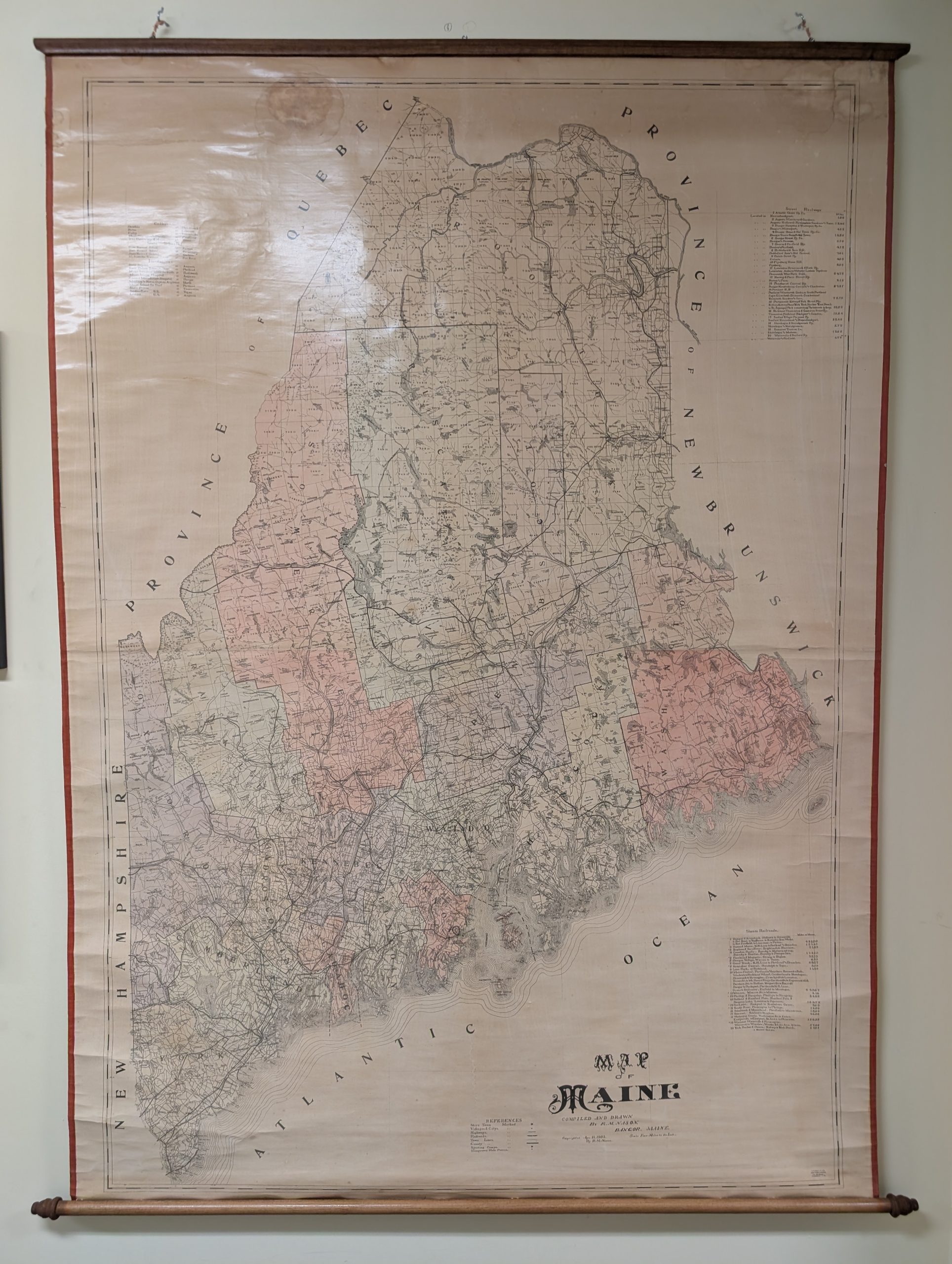
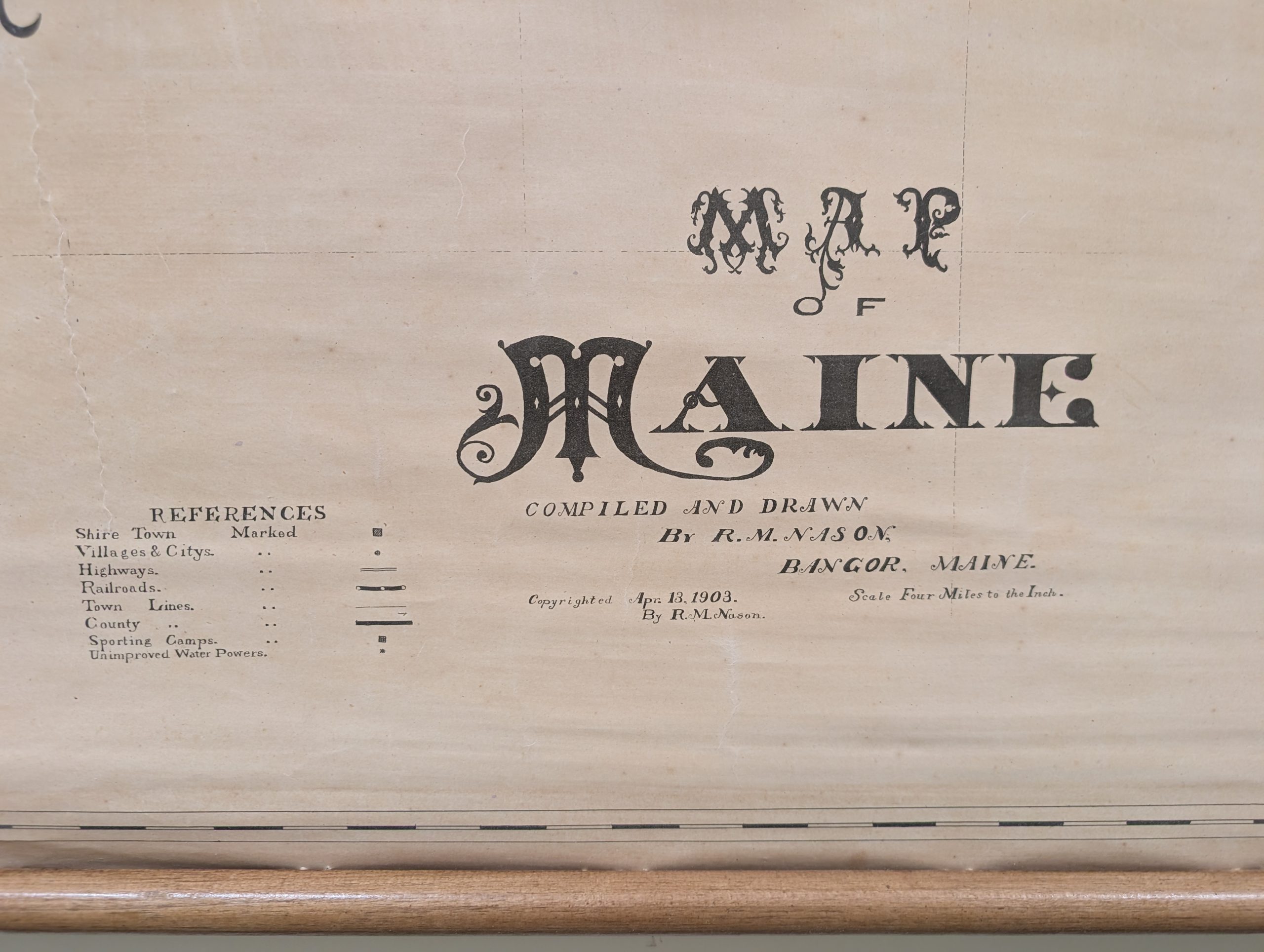
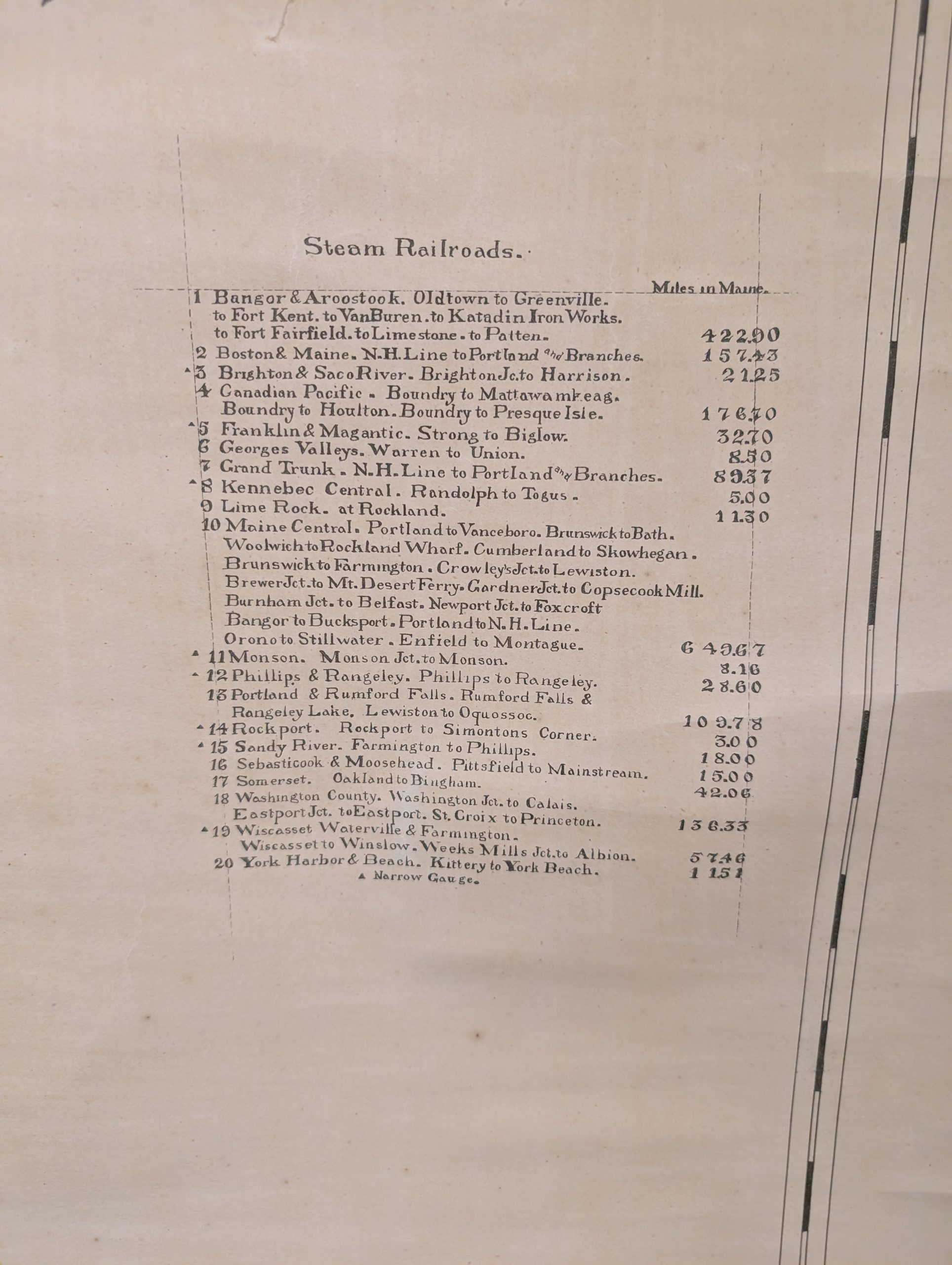
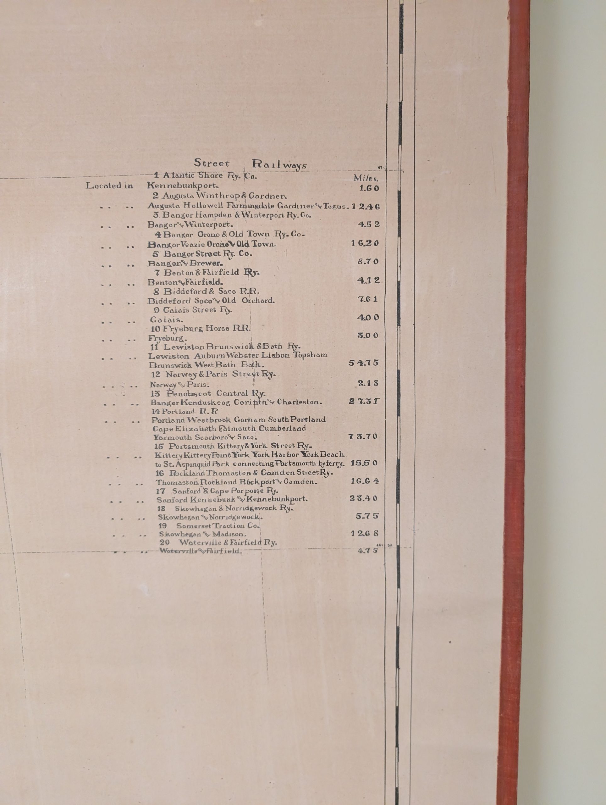
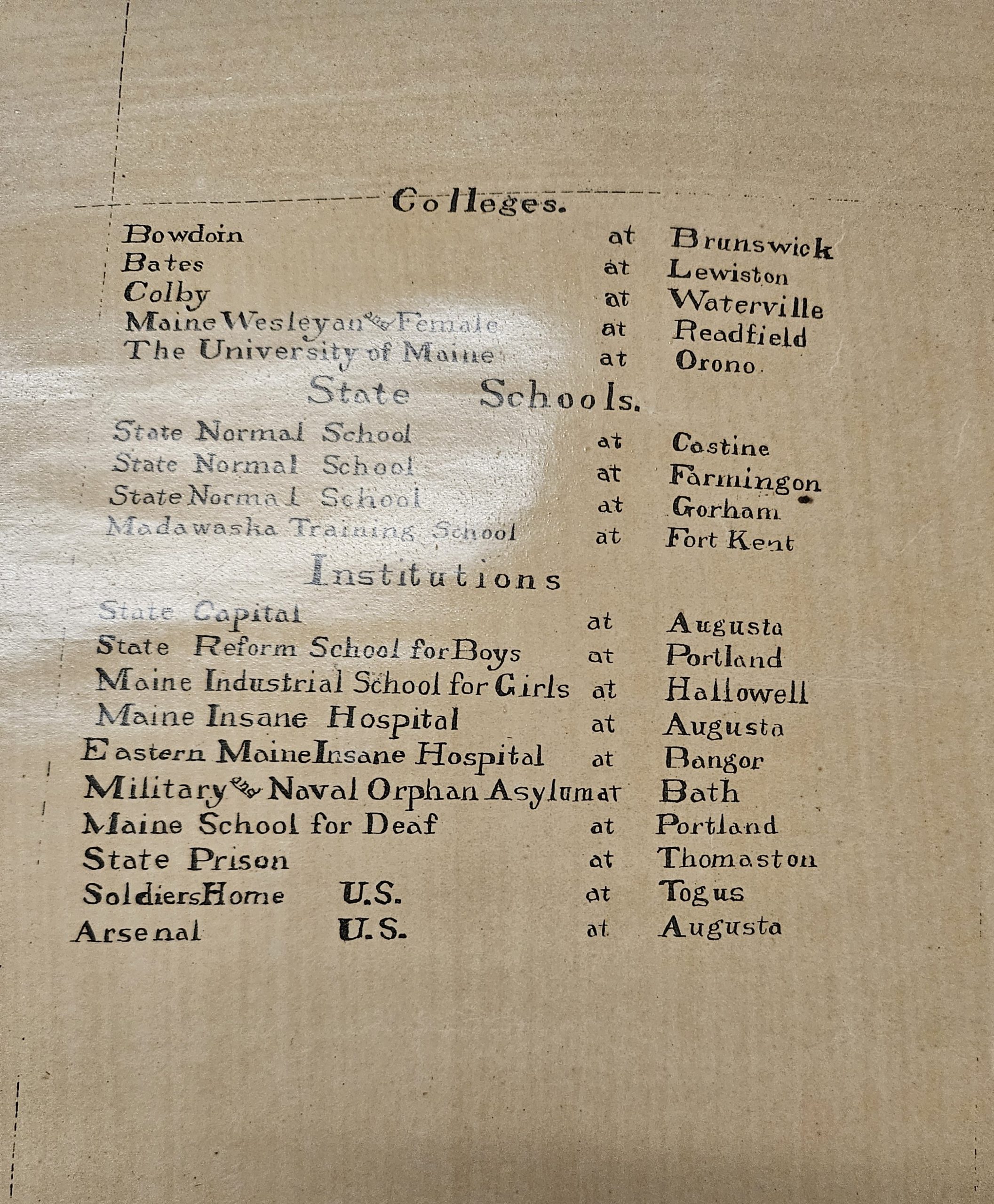
This incredibly local and rare 1903 linen backed wall map of Maine is a unique find. These maps were traditionally hung in libraries, schools and court houses throughout the 19th and 20th century.
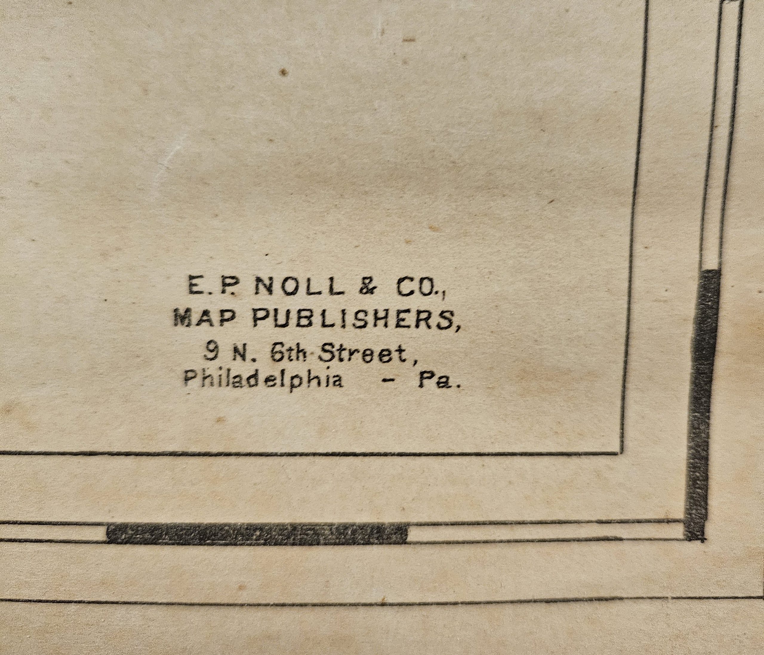
The map was drawn by R.M. Nason, Bangor, ME and published by E. P. Noll & Co., Philadelphia. This map of Maine shows counties and towns, plus it has listings for street railways, steam railroads, and colleges.
Edward. P. Noll (1855 – 1926) was an American map publisher who owned a firm operating in Philadelphia. His work appeared prolifically in the last quarter of the 19th century and the first years of the 20th. E. P. Noll and Company was a leading firm of the period, specializing in maps for bicyclists, motorists and other travelers. He was born in Kentucky to German parents. The family moved to Cincinnati where his father, Peter Franz, became a saloon keeper. Nothing is known of Edward’s early education, though by 1880 the family had moved to Philadelphia: that year’s census lists Peter Frans as a brewer and Edward as a map moulder.
R.M. Nason (Richard M. Nason), an engineer and surveyor active in the late 19th and early 20th centuries, are highly regarded historical artifacts in Maine. His work included prominent pieces like this 1903 wall Map of Maine as well as extensive township and boundary surveys throughout northern and eastern Maine. Many of his historical map blueprints, plans, and survey records are preserved in regional archives, including the Maine State Archives.