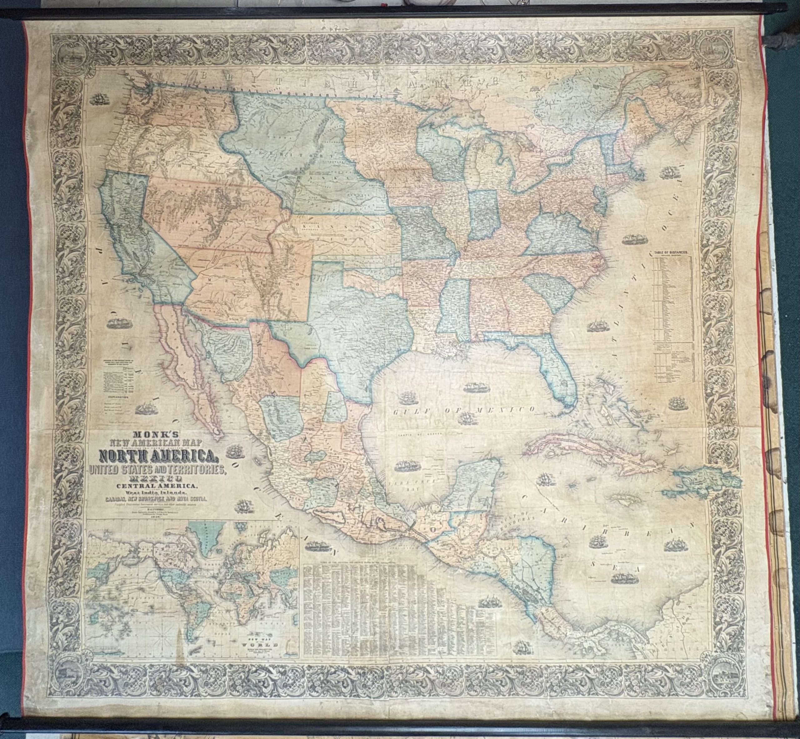
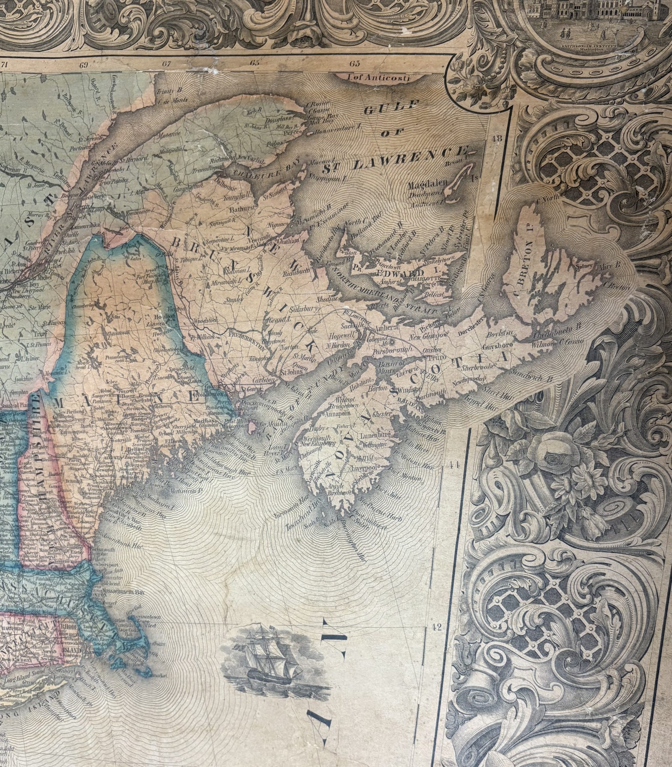
Jacob Monk’s large format map is an impressive example of the early commercial mapping of North America. This is the third of his major wall maps of North America. This map highlights the evolution of the territories west of the Mississippi River. Washington and Oregon Territories extend to the Rocky Mountains. A massive Nebraska Territory extends north to Canada and west to the Rocky Mountains. Utah Territory and New Mexico Territory extend from California to Texas and Kansas. A region called “Gadsden” is shown south of New Mexico. A large Kansas Territory, running from Iowa to the Rocky Mountains, illustrating the region in the year before the discovery of Gold in what would become Kansas Territory in 1859.
The map also illustrates a number of the large western Territorial counties. Many Indian Tribal lands are illustrated, as are early forts, exploration routes and early proposed routes for the Transcontinental Railroad. Western exploration routes and early roads includes:
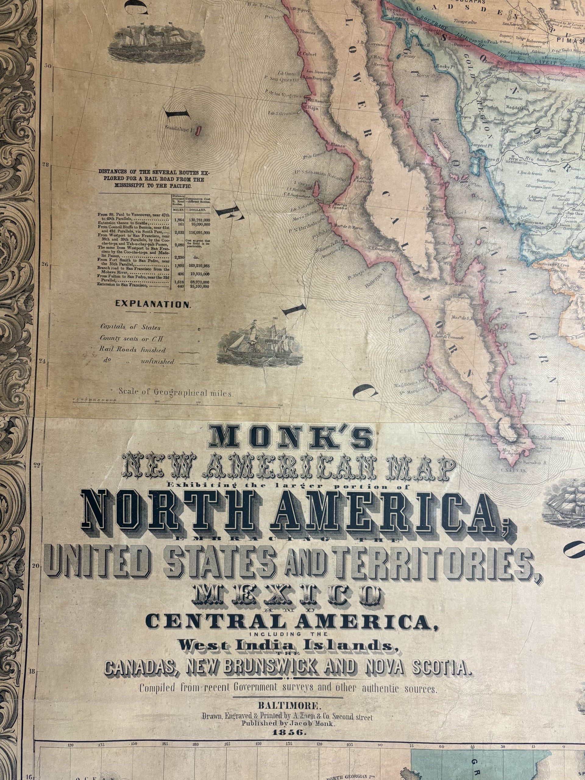
The overland mail route to California, Santa Fe Expedition, 1841, Route from Ft. Smith to Santa Fe (820 miles), Oregon Trail (Council Bluffs to California), Proposed rail route from St. Paul to Vancouver, Proposed rail road from Westport to San Francisco (2080 miles), Emory’s route to California, and a few counties shown in Southern California, include San Diego, San Bernardino, Los Angelos (sic) and Santa Barbara.
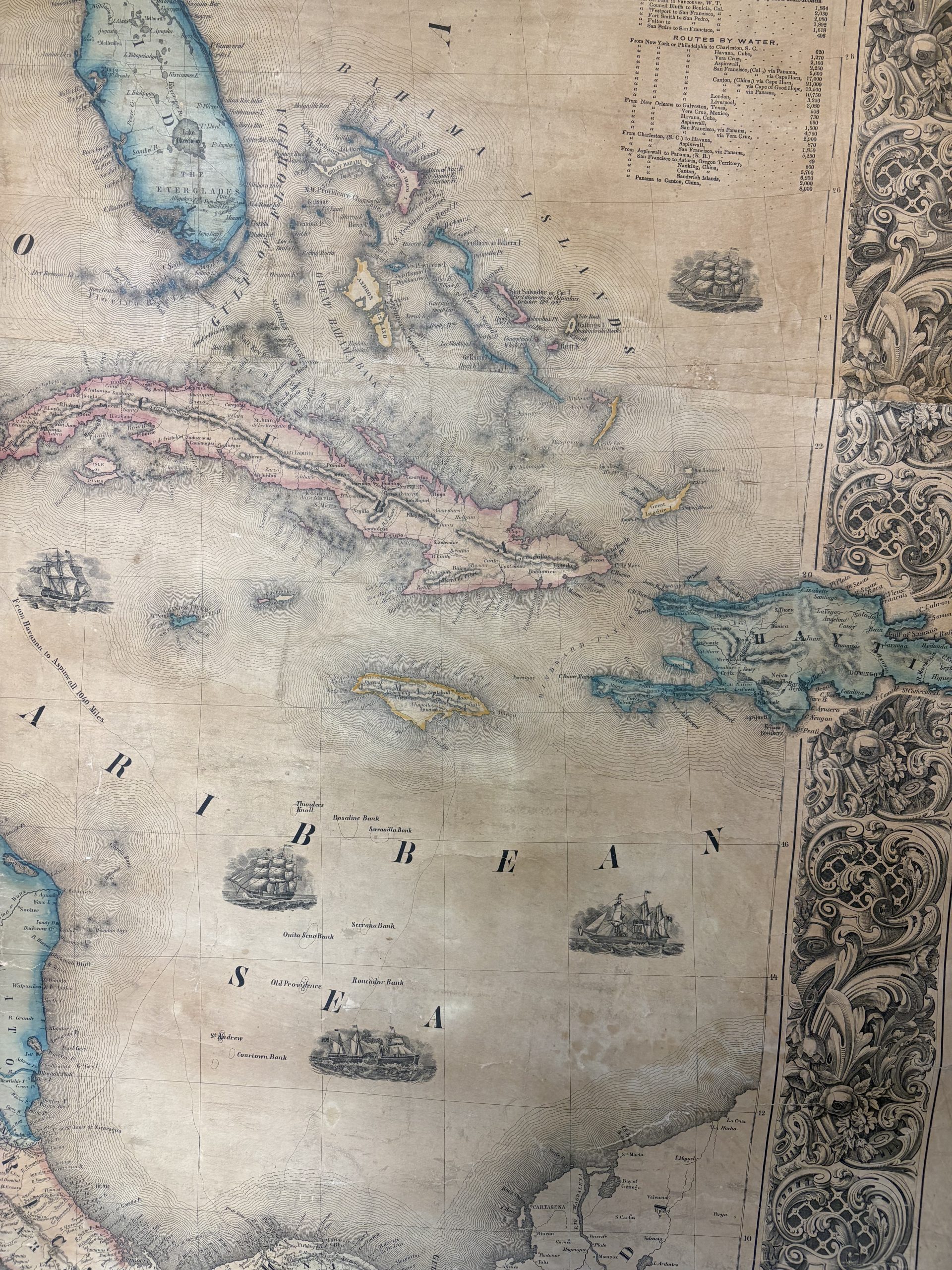
Along with the United States, the southern portion of British America is shown, as is Mexico with its separate states, the nations of Central America, and the islands of the Caribbean. Compelling insets include a “New Map of the World on Mercator’s Projection” (showing exploration and trade routes), the “Names of the Counties and County Towns of the United States,” as well as a table of distances between major cities by inland routes and by water. Particularly fascinating is the table of “Distances of the Several Routes Explored for a Rail Road from the Mississippi to the Pacific.” Proposed routes are also shown on the map itself.
In addition, this map has an exceptionally ornate decorative border which includes, at its corners, renderings of the Smithsonian, United States Capitol, the President’s House, and Independence Hall. Overall, this is a very fine example, in excellent condition, of an outstanding American wall map.