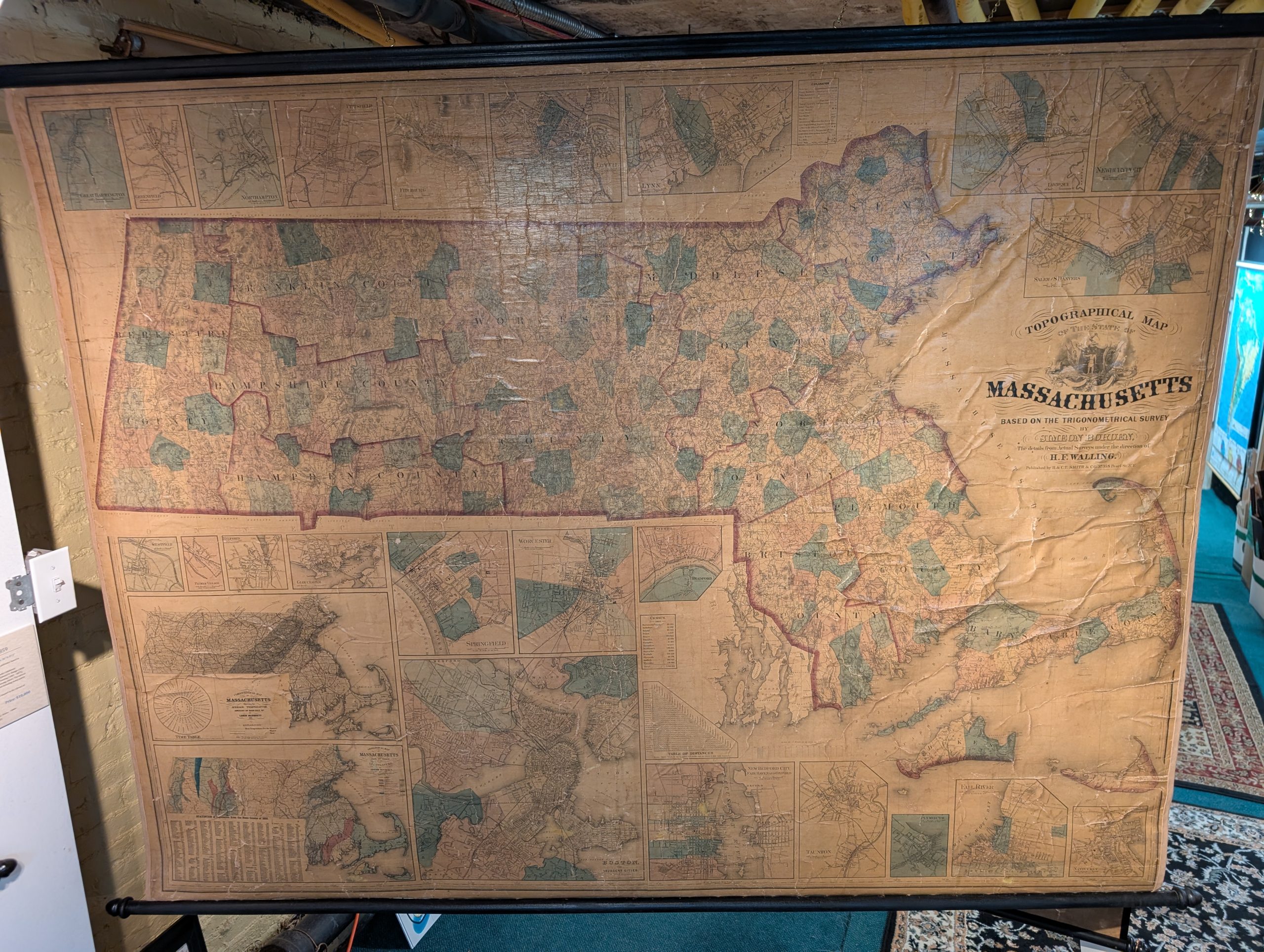
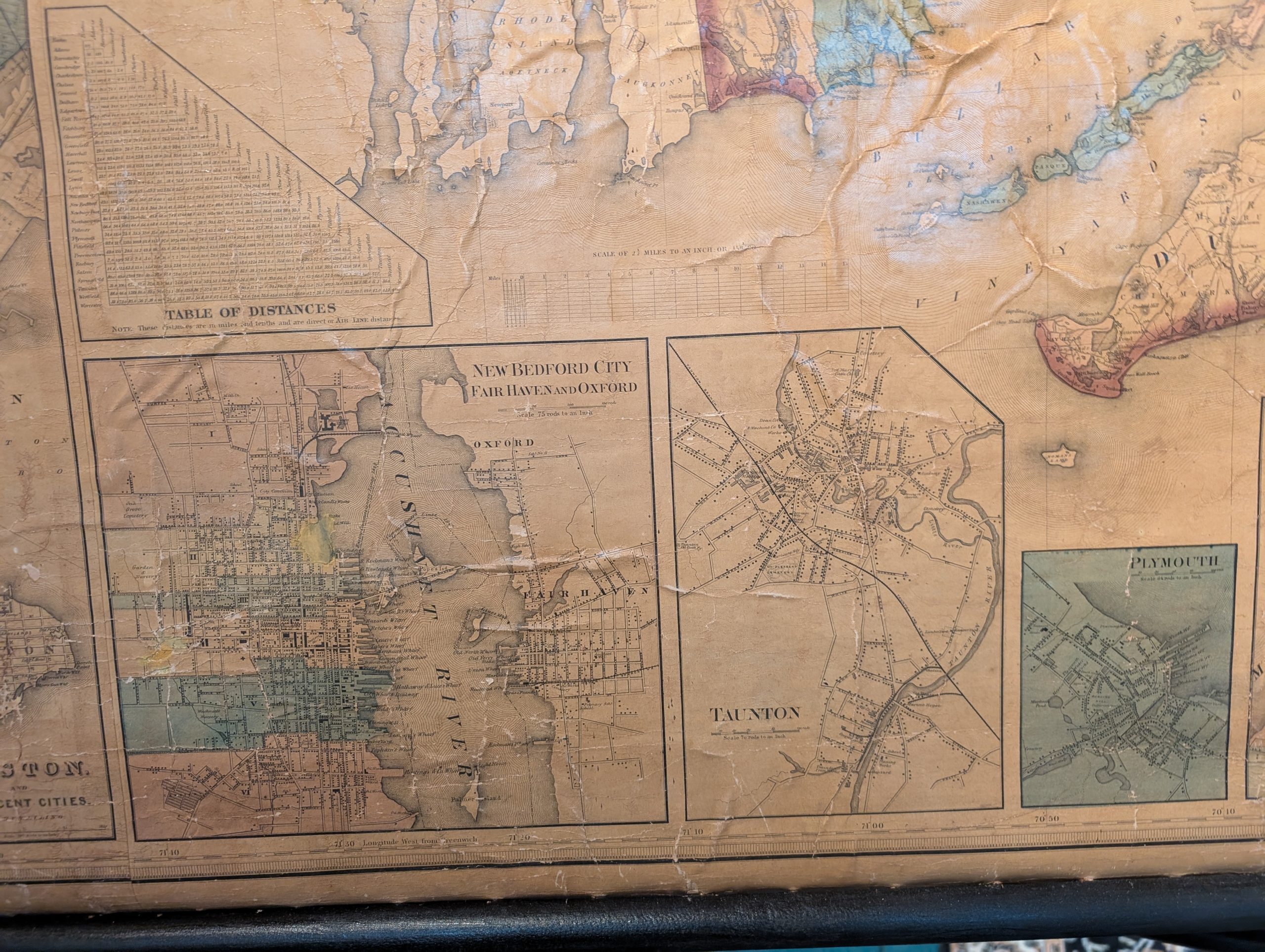
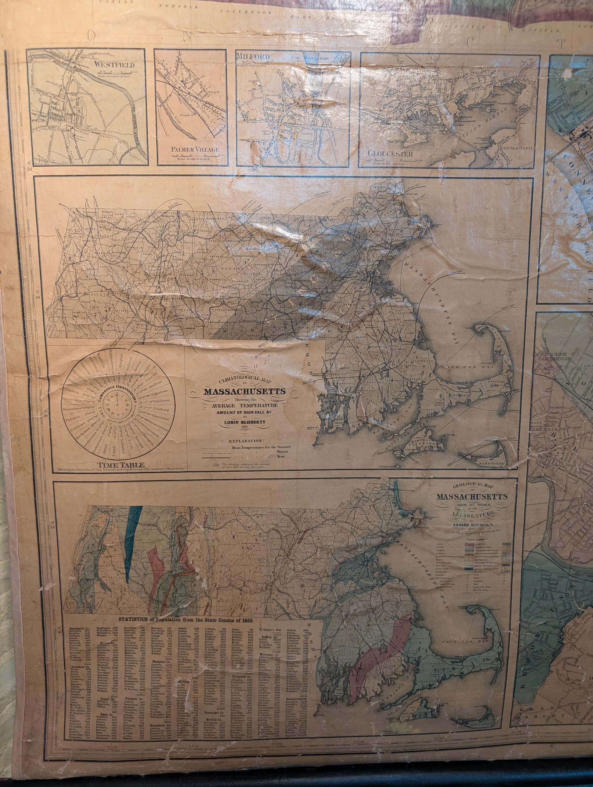
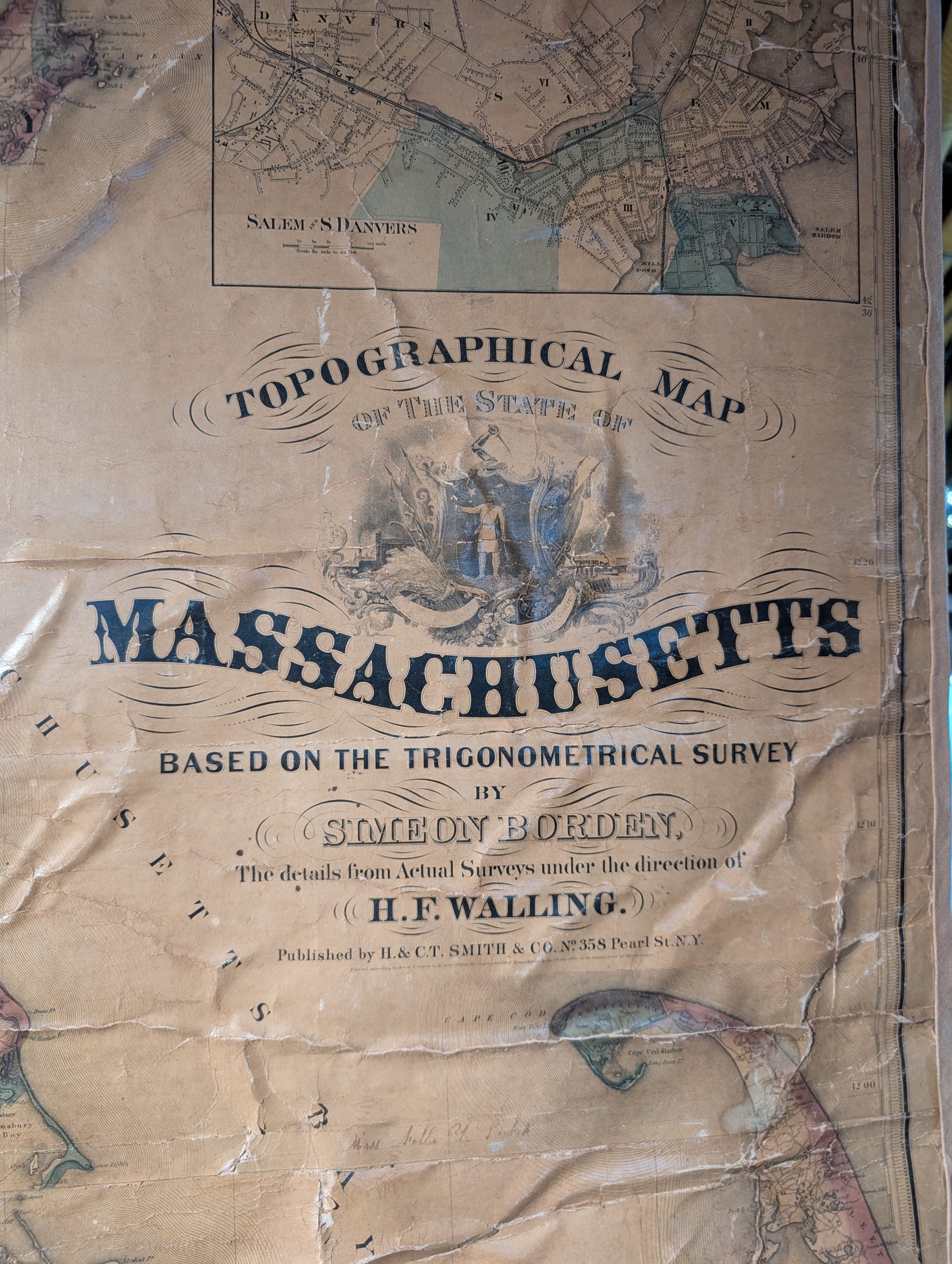
This 1861 topographical map of The State of Massachusetts is one of the most accurate and detailed of its time, based on the trigonometrical survey from Simeon Borden, with details from actual surveys under the direction of H.F. Walling. The map was published by H. & C.T. Smith & Co., N.Y.
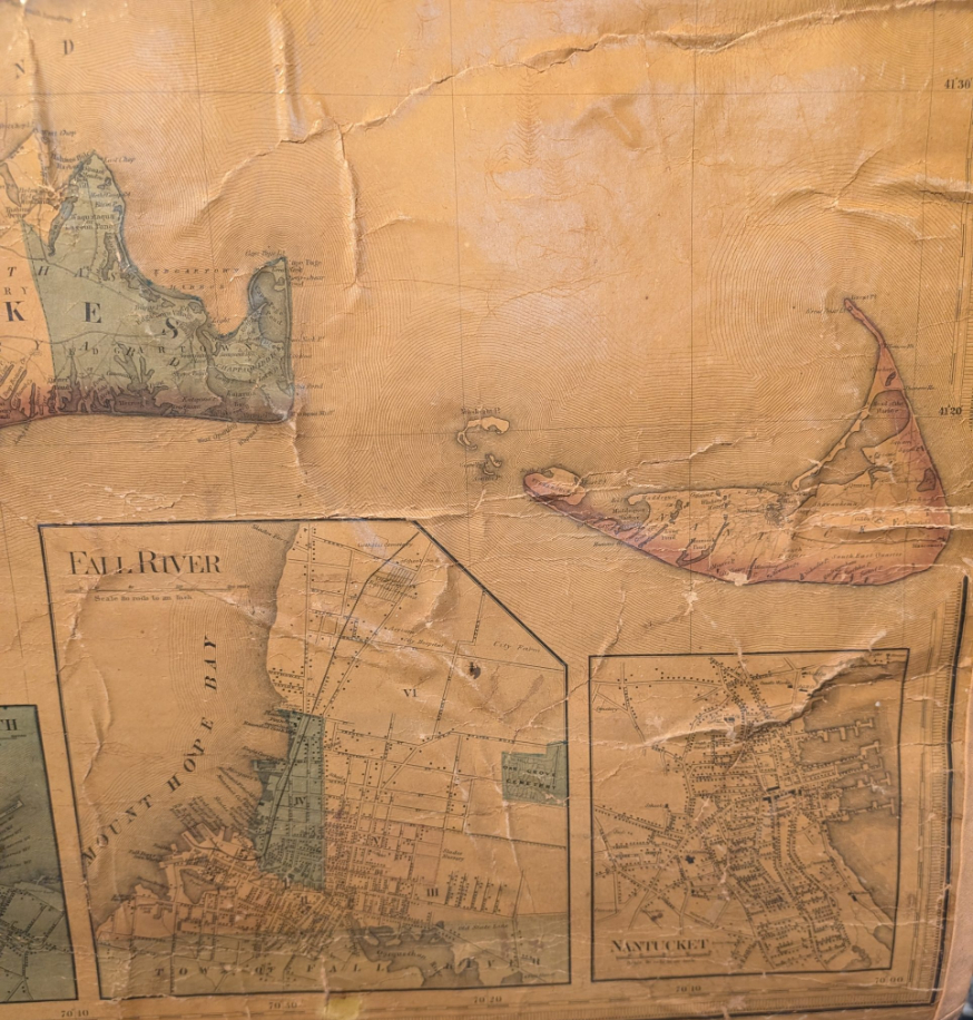
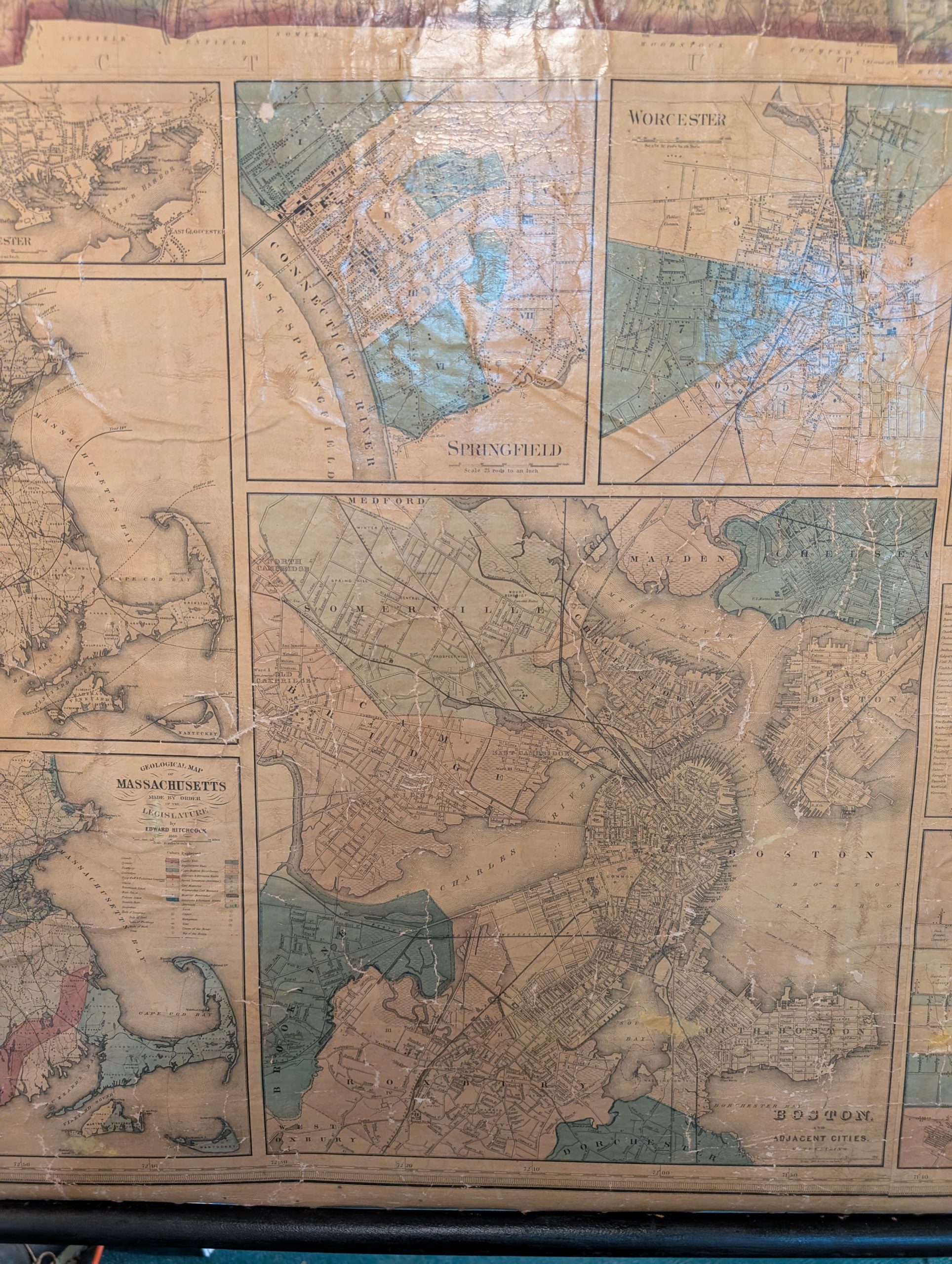
This map is a lithographic reissue of Borden’s 1844 map with updates and additions by Walling. The map is covered with graphical and statistical data, including Twenty-five inset maps of cities, a climatological map by Blodgett, a geological map by Hitchcock, statistics from the 1860 census, and a table of distances. The new information on the map is based on the Massachusetts county surveys and maps made by Walling from 1855-60. The map is dissected into 24 sections and backed and bordered with linen.
Publisher:
H. & C. T. Smith were 19th-century American cartographic publishers based in New York known for producing county wall maps for states like New York, Connecticut, Massachusetts and New Jersey. Active around the mid-1800s, their work often featured detailed, large-format regional maps.
Surveyor:
Simeon Borden (1798 – 1856) was an American inventor, engineer, and surveyor. In 1830 Borden invented a new apparatus for accurately measuring the base line for the upcoming Massachusetts’ Trigonometrical Survey. It was 50 feet long, enclosed in a tube, and used with four compound microscopes. The tube and microscopes were mounted on trestles, and adjustable to any direction.
Borden’s equipment was judged to be more accurate and convenient than any instrument available, and thus he assisted in measuring the Massachusetts base line (now known as the Borden Base Line) to a remarkable accuracy.
Cartographer:
Henry Francis Walling (1825 – 1889) was a notable American civil engineer and cartographer. He began topographic work in 1849, and prepared atlases containing full maps and scientific descriptions of most of the northern American states and the Dominion of Canada. After preparing at least 50 town maps in the Massachusetts vicinity, in 1855 he became the Commonwealth’s Superintendent of the State Map. In 1856 he moved to New York City for its quality lithographers. In 1884 was assigned to duty for the geodetic survey of Massachusetts in preparation of the state maps, on which work he was engaged at the time of his death.