Wall Maps & Schoolhouse Map
Our gallery hosts a large collection of antique linen backed wall maps, schoolhouse relief maps and pull-down schoolhouse maps. These large scale wall maps date between the mid-ninetieth century and the early twentieth century. Every antique map has a story to tell and make great conservation pieces for the home or office.
Stop by our gallery on Congress Street in Portland to see the whole collection.
Showing all 6 results
-
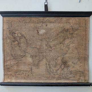
1779 Map of Asia by Philippe Buache
$800.00 Add to cart -
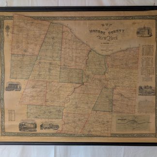
1852 Map of Monroe County, New York by P. J. Browne
$800.00 Add to cart -
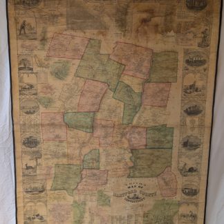
1855 Map of Hartford County, Connecticut by E. M. Woodford
$900.00 Add to cart -
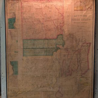
1855 Map of Rhode Island by Henry F. Walling
$2,000.00 Add to cart -
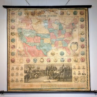
1859 National Map of the United States
$2,900.00 Add to cart -
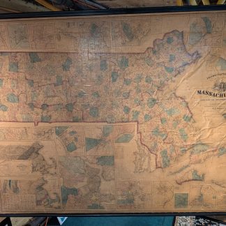
1861 Map of Massachusetts by H. F. Walling
$2,000.00 Add to cart
Showing all 6 results