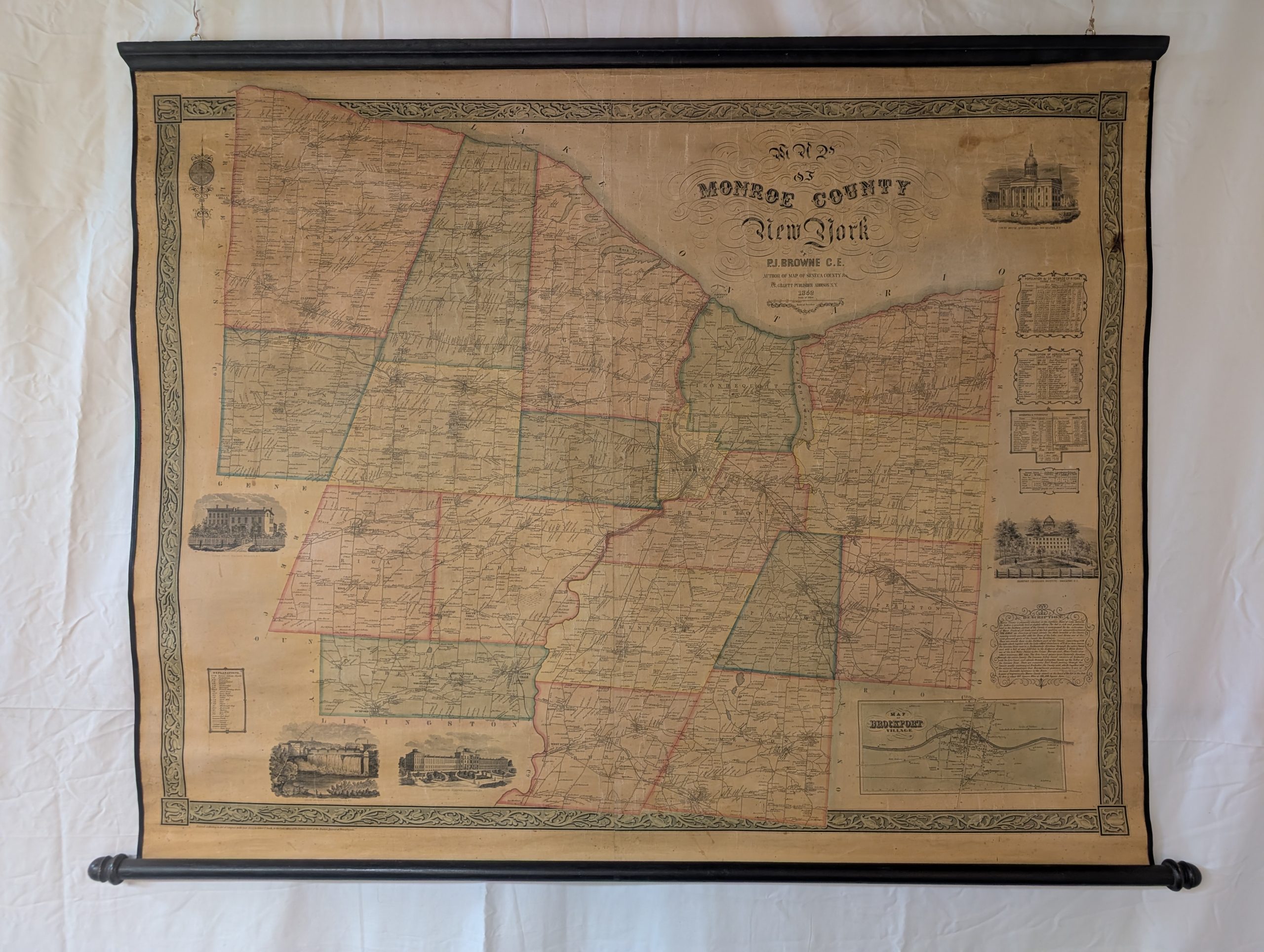
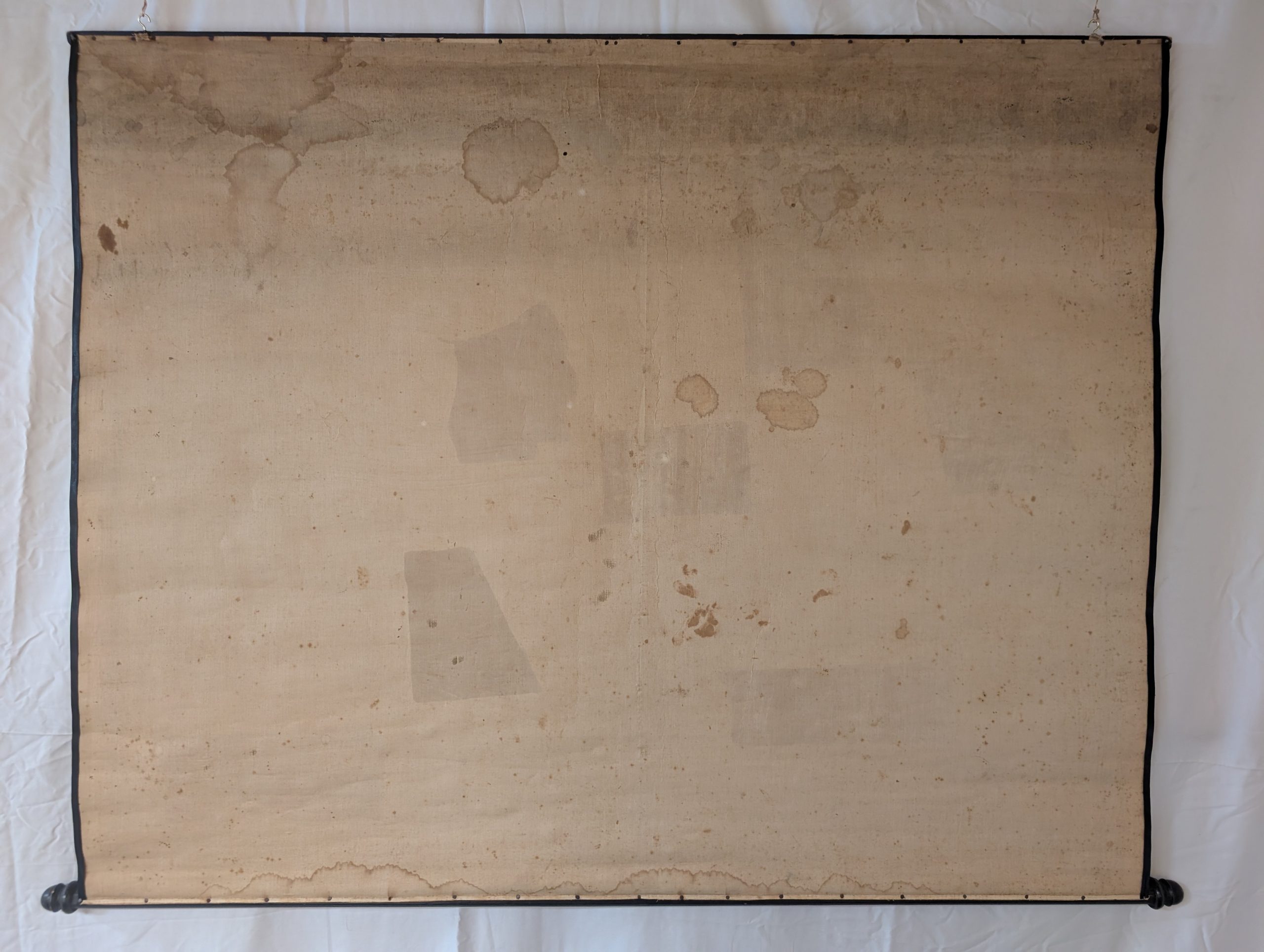
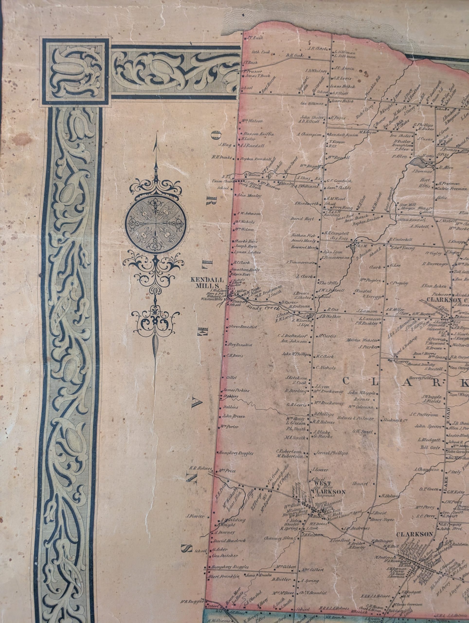
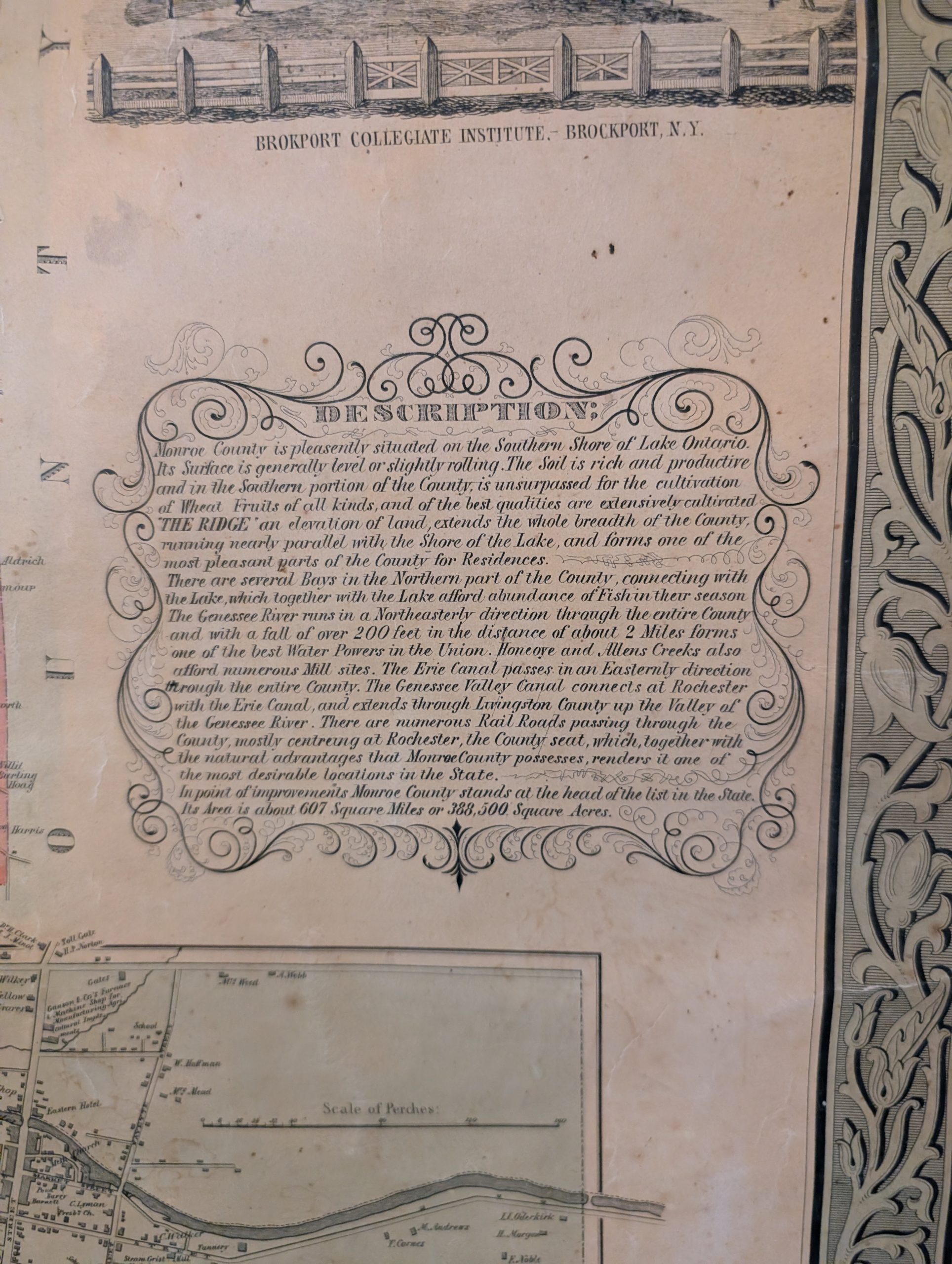
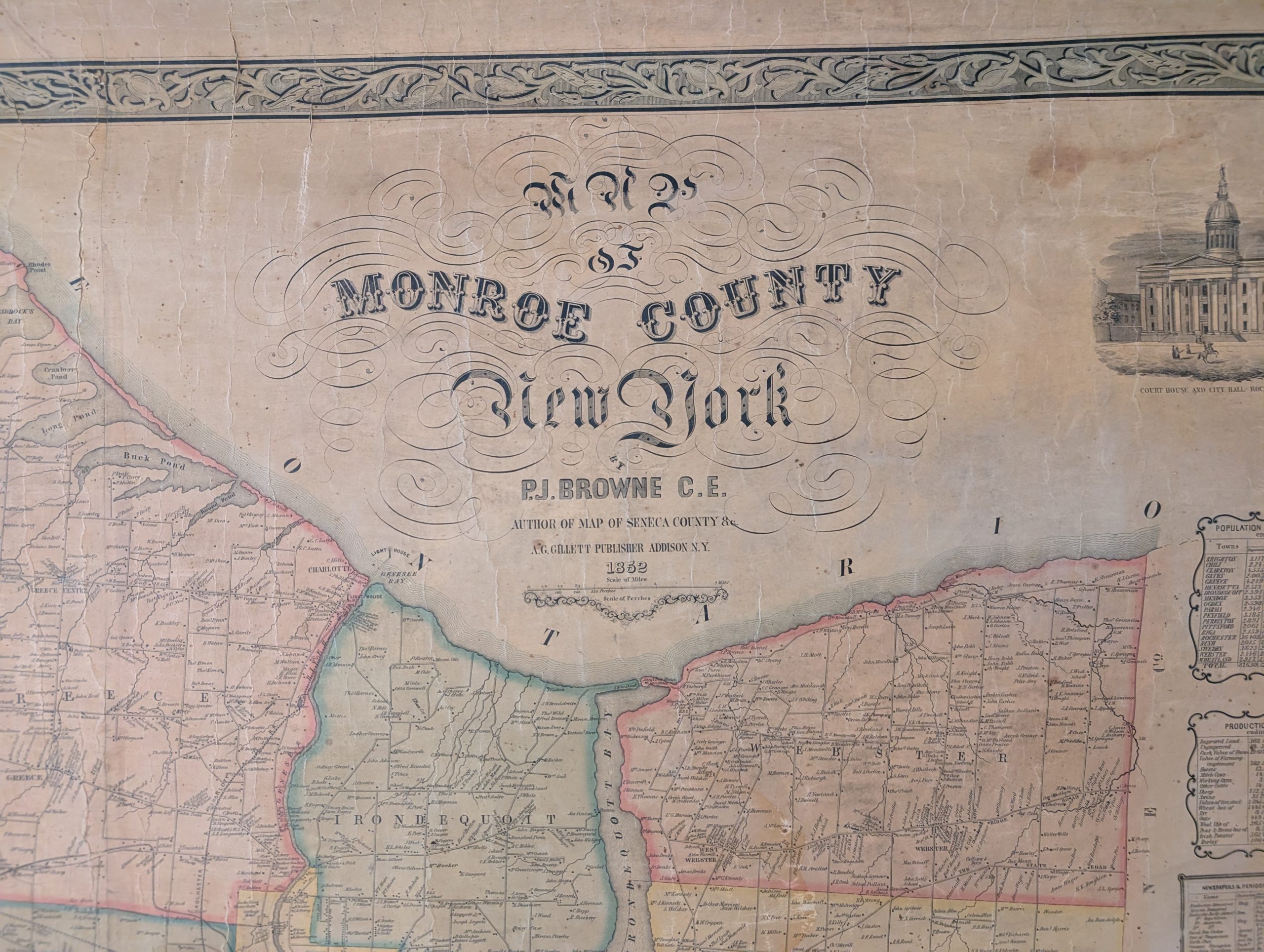
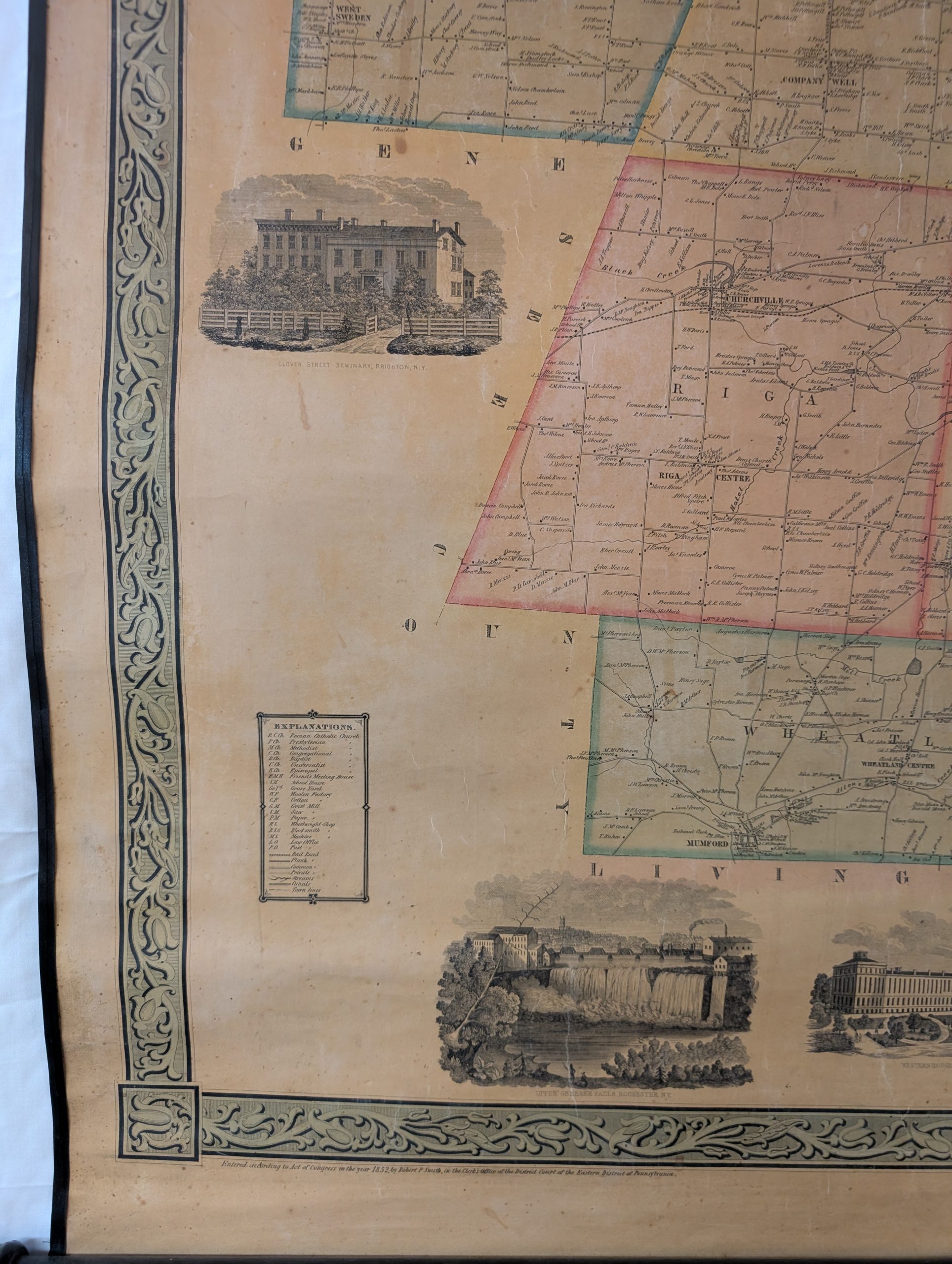
This beautiful 1852 original wall map of Monroe Co. NY, is in wonderful condition and would make a great addition for any home or office. The map includes population statistics, table of distances, inset of Rochester with city directory, and 30 other insets with business directories for some towns in the county.
The author of this map, P. J. Browne is identified as a cartographer and author associated with map production, specifically appearing in records related to regional mapping and geographical data in the 19th century. Records indicate P. J. Browne, alongside Newel S. Brown, produced colored maps. The map was published by A. G. Gillett Publisher, Addison, New York.
“Entered according to Act of Congress in the year 1858 by Robert Pearsall Smith in the clerk’s office of the district court of the eastern district of Pennsylvania.”